Take a look at Navionics' June offer -
Navionics SonarChart™ Shading available for Platinum+ and HotMaps Platinum Charts.
An Exciting New Feature in the Satellite Overlay layer
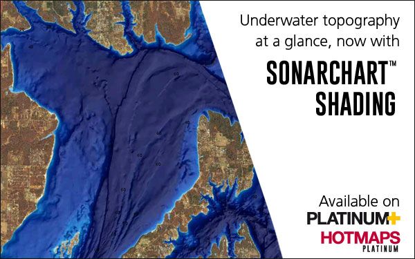
SonarChart Shading is a new chart feature Navionics has recently introduced to their exclusive Platinum+ and HotMaps Platinum cartography products for coastal and inland fishing and boating.
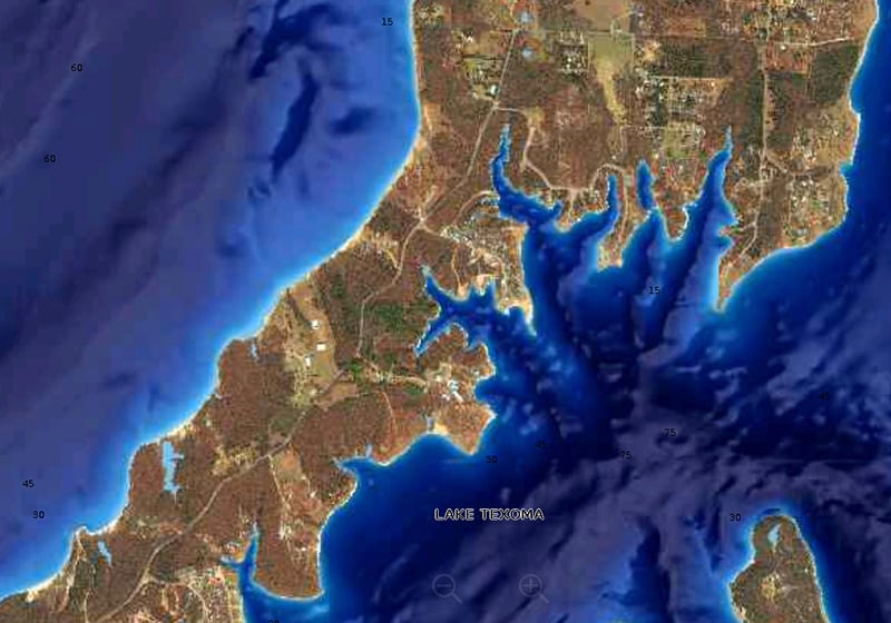
Embedded within the Satellite Overlay layer, SonarChart Shading provides a detailed rendering of the seafloor and lake bottom to deliver a unique perspective of underwater topography at a glance.
Gain a Better Situational Awareness
Created from the high-definition 1’ contour data within SonarChart, varying shades of blue reveal changes in depth, drop-offs, and other features that help boaters and offer anglers clear visual cues to identify the fish-holding structures.
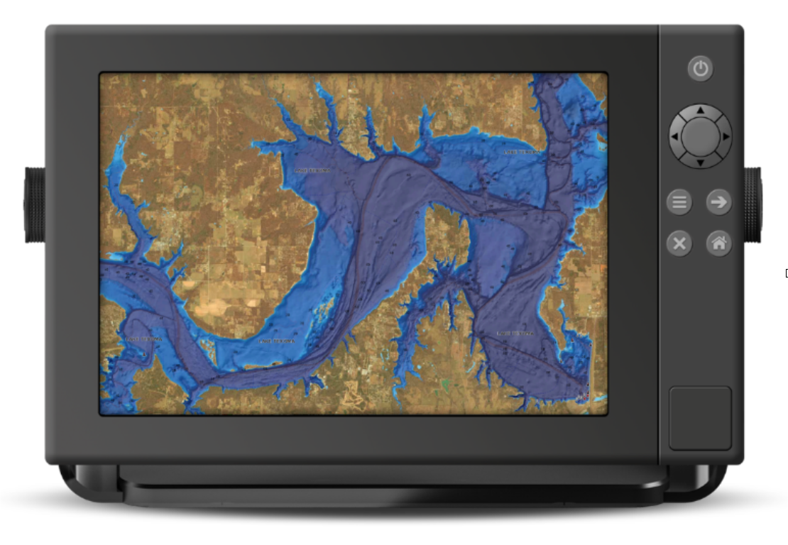
SonarChart Shading can be viewed on GPS chartplotters that are compatible with HotMaps Platinum and Platinum+ satellite overlay and with the same options, including selectable overlay on land, land and shallows, or full overlay. Adjustable transparency allows to view the new imagery blended with either the SonarChart bathymetry map or the nautical chart.
Don't Miss Any Details
Now available for download on HotMaps Platinum and some Platinum+ charts in U.S., SonarChart Shading is being released for other Platinum+ charts as they are ready, and can be downloaded when available. An active subscription, included with new products, is required. Check availability.
