
Navionics is inviting you to help enhance the charts for the waters on which you sail. In return, Navionics will give you up to four Navionics+ Charts - that's $800 value, just for doing what you're already doing! You don't have to go anywhere different, simply sail as you have planned for Summer Sailstice and log your movments with Navionics' Sonar Chart Events program. Learn how it works...
Jessica has enhanced her sailing experiences through getting on board with Navionics SonarCharts. Here's her story...
"The shimmer of gasoline rippled across the bay with an odor that turned our heads. We scanned the horizon and quickly found the source, a small power boat half sunk into the bay, hastily abandoned by the owners who probably wanted to avoid the environmental fees that clearly would have been more than the boat.
The power boat had struck a sandbar and was lodged there to be battered by the waves and the tides. The maps had the sandbar marked, but it had shifted so badly in the last storm it now lived in a new location, along with the adorned power boat which now called this home as well. The beautiful Bahamian water shimmered with the white sandy bottom clearly visible through the pristine turquoise waters. This paradise did have to suffer an environmental blow like this. The destroyed power boat may have deserved this fate, but the water, fish, and perfectly formed island with it’s picturesque palm trees did not.
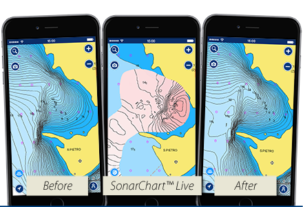
We had been sailing for six months at this point, using Navionics as our chart source. Navionics provided the perfect chart options for us - customizable views, SonarChart layer that shows 1 foot contours for very detailed charts, charts that are updated daily and, best of all, SonarCharts Live. SonarCharts Live is a feature that lets us collect bathymetry data from our transducer as we sail and the data is drawn directly onto our charts so we have the absolutely latest, most accurate depth data available. We can even submit the data to Navionics to help other boaters.
I quickly checked the charts to see what was marked at the sandbar. The shifted sandbar hadn’t been updated yet, so we boated around this area to collect new and updated depth data and uploaded this data to Navionics for the next boater who passed by this location. I sincerely hope that no one was hurt in the grounding. The steps I took to update the charts were small, but I’m hoping this effort may save a life one day, or at the very least, save this island from further damage at the hands of man who often whiz by at high speeds and neglect to notice the intricacies of the islands. Perfect untouched beaches, amazingly clear water, incredible reefs, and teeming life under the water- these are the treasures of the Bahamas that deserve to be protected. Every ocean environment deserves to be protected like this.
I only hope my small chart updates during this trip and during every sail I take help to preserve some of these gifts. We can all do our part in protecting our oceans, the reefs, and other boaters by collecting depth data through SonarCharts Live." - Jessica Grimm
For more information visit: https://www.navionics.com/usa/charts/features/sonarchart-live
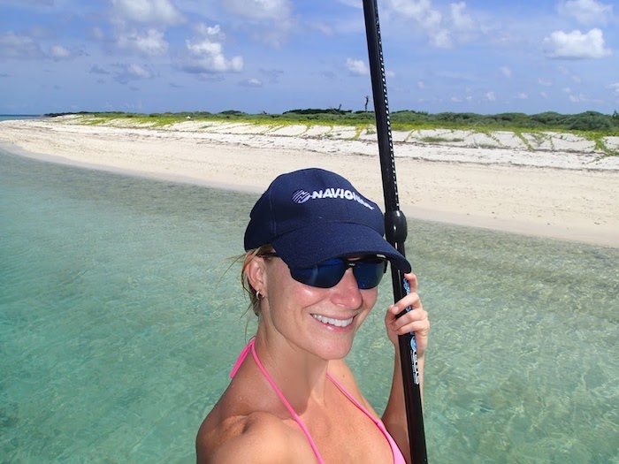
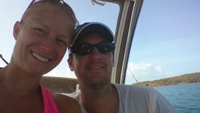
Jessica and her partner enjoyed their sailing adventures under the guidance of Navionics -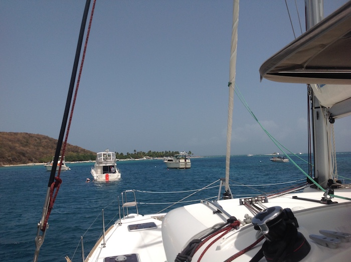
![]()
