As we lined up along with 6 other sailing vessels in Marigot Bay, St. Martin awaiting the drawbridge opening we turned on Navionics tracking and verified that our transducer was feeding data into our Navionics app on our iPad. Over the last few months of cruising the Caribbean on our 39 foot Beneteau we had heard horror stories of this entrance. The passage through the bridge is just barely wide enough for some large vessels, once through the bridge the channel markers are placed in the opposite orientation of the international standard, the "dredged" channel is only deep enough for our 5'1" draft in certain places, whole lines of sailboats run aground as they play follow the leader. At bare minimum, local knowledge is needed.
We have zoomed in on our map and enabled SonarCharts to be sure we have the most detailed and accurate map available. Waves are crashing just feet away from our starboard side as we begin the entrance. With a stiff 25 knot breeze abeam all the boats were having a tough time holding the slow orderly procession. As shameless first-timers entering this hairy inlet we religiously followed in an experienced local charter boat, tracking our route the entire time. Not only would we be able to follow our route back out but we would also have an even more detailed and accurate map due to SonarCharts Live.
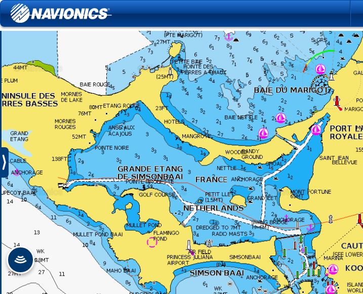
Simpson Lagoon - protected inside but challenging to enter.
SonarCharts Live is a new technology available only from Navionics, our favorite nautical navigation software. This technology accepts sonar data from a Vexilar transducer on our hull and incorporates the data into the map, redrawing the map in real time behind us! Every foot we travel through this famously dangerous waterway is another foot of accurate map updates.
As we watch boat after boat run aground in areas that other maps have labelled as navigation safe depths, we continue through safely, updating our maps the entire way. We find a cozy protected place to anchor in an area where another Navionics user had used Community Edits to mark the bottom as grass and sand splotches. We spend two weeks here enjoying the French delicacies available on the north side of this culturally split island. Every day we watch boat after boat run aground going in and out of the bay entrance.
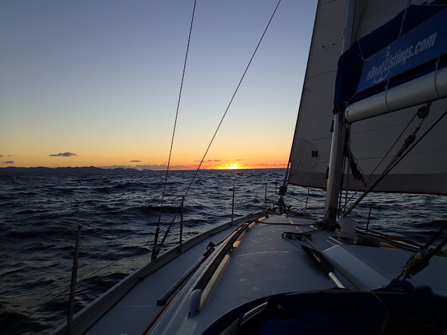
Crossing to St. Martin offshore in deep water - all is well.
As we prepare to leave we check our chart which was updated with our own data collected as we entered, which now reflects the most recent movement of the constantly shifting bottom contours. Between our updated data and our track from our entrance we safely lead a caravan of 6 sailboats through the bay "channel", through the Marigot bridge and out to the safe depths of Marigot Bay. The crew members on every boat cheered as they passed us, grateful for leading them out of the bay and safely NOT aground.
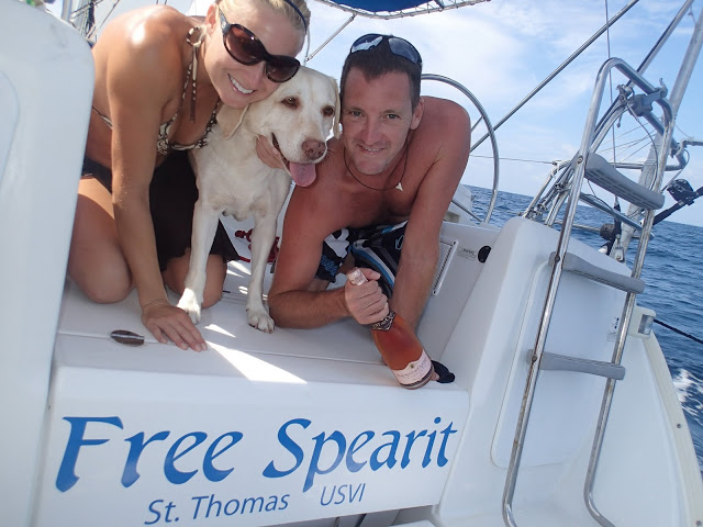
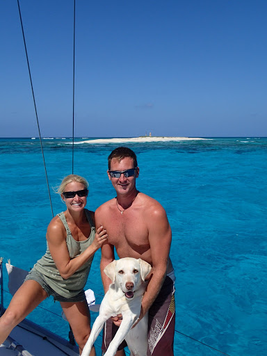
Jessica Anderson
SV 'Free Spearit'
